Tropical Storm Hilary, originating 470 miles off the coast of Manzanillo, Mexico, has rapidly escalated into a hurricane.
Its trajectory could unleash an unusual mix of heavy rains, substantial surf, and flash flooding in parts of California and the Southwest, regions that seldom encounter such weather conditions, as per forecasters, according to the Independent.
Hurricane Hilary Poses Rare Heavy Rain and Flood Risk
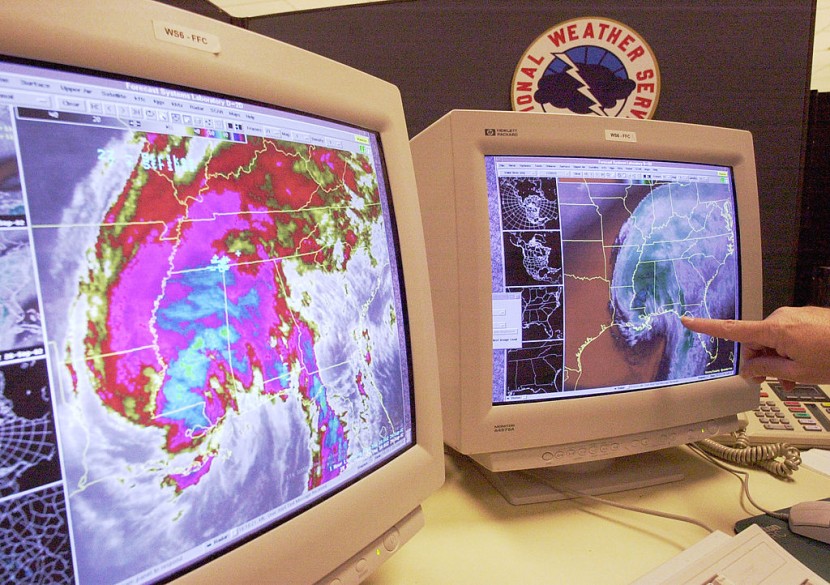
The National Weather Service (NWS) conveyed increasing confidence in the occurrence of a significant heavy rainfall event with high impacts across portions of the Southwest and California starting from Saturday and potentially lasting until Monday.
The impending situation has raised alerts and preparedness efforts in the affected areas. With sustained winds already reaching 85 mph, Hurricane Hilary is projected to proceed northward, paralleling Baja California.
There are projections that it could intensify further to a major Category 3 or higher hurricane before potentially making landfall in Mexico on Sunday.
Although the storm may diminish as it encounters colder waters while advancing northward, the remnants of the system could still trigger what experts describe as an exceedingly rare and potentially hazardous event for California and the Southwest.
Stefanie Sullivan, an NWS forecaster, explained that the anticipated impacts, including heavy rainfall and floods, would be significant and uncommon for the region.
The forecast indicates that California could experience a deluge of 5 to 6 inches of rain. Inland desert areas may receive an amount of rainfall equivalent to their annual average within just 48 hours. Additionally, coastal areas might witness surf heights ranging from 4 to 7 feet, accompanied by life-threatening currents.
KTLA meteorologist Henry DiCarlo emphasized the gravity of the situation, noting that while the hurricane might not classify as a Category 1 Hurricane upon arrival in Southern California on Sunday or Monday, it is likely to be very close.
The impending landfall could bring substantial rain to the region, affecting not only desert areas but also urban centers in Southern California.
California's typically arid climate rarely experiences storms of this magnitude. The last significant tropical storm to make landfall in the state occurred in 1939, causing severe damage, including the destruction of homes in Southern California and the loss of 48 lives, as per CNN.
Read Also: Rhode Island: Tick-Borne Disease Kills 80-Year-Old Woman; Everything We Know About Powassan Virus
Hurricane Hilary Threatens Mexico, US Southwest
In addition to the impending threat to California, parts of Mexico, including the popular resort town of Cabo San Lucas, are on high alert.
As the storm progresses across the Western US, there are predictions of considerable rainfall in southern Nevada (4 to 7 inches) and western Arizona (2 to 4 inches), both regions that are experiencing drought conditions.
The heavy precipitation increases the risk of flash flooding in these typically dry areas.
The emergence of Hurricane Hilary and its unprecedented trajectory towards California and the Southwest serves as a reminder of the unpredictability of natural forces. As communities brace for the impending weather event, authorities and residents are mobilizing to mitigate potential damage and ensure the safety of residents.
The unusual nature of this weather occurrence underscores the importance of preparedness and the adaptability needed to navigate the challenges posed by the changing climate landscape, Daily Mail reported.
© 2026 HNGN, All rights reserved. Do not reproduce without permission.


