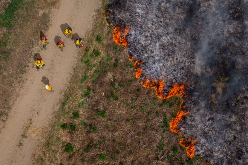
The Arizona Department of Forestry and Fire Management said a brush fire that started east of Phoenix on Friday has spread to 2,560 acres. According to the department's Twitter account, the Copper Canyon Fire was around 20 percent contained as of Sunday.
Copper Canyon fire spread to 2,560 acres
The fire information system InciWeb stated that the departments are emphasizing their efforts on the blaze's southern and western sides. Fire intensity has decreased dramatically. But gusts of up to 30 mph are forecast in the area on Sunday afternoon, officials said, CNN reported.
On Saturday, the fire's hazard to structures and other properties had diminished dramatically. Although no evacuations were requested on Sunday, people were advised to be prepared if the situation altered.
According to fire authorities, US Highway 60, which was blocked in both directions in Gila County on Friday, was also closed. The fire broke out about 3 miles northeast of Globe, Arizona, about 90 miles east of Phoenix, fueled by hot, dry weather and wind. The cause of the fire is now being investigated.
The Arizona State Forestry Department said the Copper Canyon Fire had slowed considerably, forcing the closing of US 60 in Gila County near Globe. Firefighters' actions overnight have significantly reduced the fire's activity.
The fire started three miles northeast of Globe and had spread to 2,400 acres. Authorities have not recommended any pre-evacuations. The vulnerability to buildings and land, according to the department, has dramatically decreased.
While the blaze has spread away from the highway, officials have announced that US 60 will stay closed due to broken guardrails. "Hot, dry, and windy conditions ignited the fire on Friday, making suppression challenging," the department said, as per 12News. The Arizona Department of Transportation will provide highway alerts.
Mandatory evacuations implemented in some areas of Arizona
Per AZCentral, Horsethief Basin, and Minnehaha, Fort Misery has all been ordered to evacuate, and Crown King has been put on high alert due to the Tussock Fire. According to Bureau of Land Management spokesperson Mariela Castaneda, the fire is situated just south of Prescott National Forest and has crossed into the national forest.
According to the Yavapai County Sheriff's Office, Crown King was closed to non-residents, and the Senator Highway (Forest Road 52) between Hooper Saddle (Forest Road 362) and Crown King (Forest Road 259) will be closed to traffic. Castaneda said there had been no containment reports and that efforts were centered on the north and northeast sides of the fire as the winds moved the fire in that direction.
The Arizona Department of Transportation said the fire, which began on May 8, has spread to the point that smoke from the fire could be seen from Interstate 17 near Table Mesa Road. A total of nearly 2,500 acres have been burnt. The smoke may affect I-17, said the National Weather Service in Flagstaff. According to a Yavapai County evacuation alert, Mayer High School is the appointed evacuation shelter.
@YouTube
© 2026 HNGN, All rights reserved. Do not reproduce without permission.


