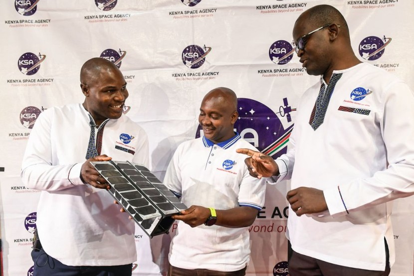
Kenya has launched its first satellite onboard a SpaceX rocket from the US, as reported by Reuters. It is the country's first operational earth observation satellite, developed by nine Kenyan engineers.
What the Satellite Will Do
The satellite will gather agricultural and environmental data, such as floods, drought, and wildfires. Authorities plan to use it for disaster management and to fight food insecurity.
SpaceX's Falcon 9 rocket carried the Taifa-1 satellite. Along with the nine Kenyan engineers, Endurosat, a Bulgarian aerospace company, also helped put the satellite together at a cost of $372,000 over two years.
According to the agency, it will operate for five years and then decay over 20 years, entering the atmosphere and burning out.
The rocket had 50 payloads from other countries, such as Turkey, under SpaceX's ride-share program.
Also read: NASA, SpaceX Launch TEMPO Satellite To Monitor Earth's Air Pollution
How Satellites Can Help the Earth's Environment
Satellites are increasingly being used to collect valuable data about agriculture and the environment. These data can help farmers and policymakers make informed decisions about land use, resource management, and environmental protection.
One of the key benefits of satellite data is that it provides a comprehensive and up-to-date picture of the earth's surface.
Satellites can collect data on everything from soil moisture and temperature to vegetation health and crop yields. This information can be used to monitor changes over time, identify areas where crops are struggling, and track the impact of weather events and other environmental factors.
For farmers, this data can be used to make decisions about planting and harvesting schedules, irrigation, and fertilization.
For example, by monitoring soil moisture levels, farmers can ensure that they are not over or under-watering their crops, which can lead to reduced yields and increased water usage.
Similarly, by monitoring vegetation health, farmers can identify areas where crops are suffering from pests or disease and take corrective action before it's too late.
In addition to supporting farming activities, satellite data can also be used to monitor and protect the environment.
For example, satellites can be used to track deforestation, monitor the health of ecosystems, and identify areas of high pollution. This information can be used to inform policies and regulations aimed at protecting natural resources and reducing environmental damage.
Overall, the use of satellites to collect agricultural and environmental data has the potential to revolutionize the way we manage our natural resources. By providing timely and accurate information, these tools can help us make more informed decisions about how we use and protect the earth's resources for generations to come.
Related article: NASA Considering SpaceX Assistance in Event of Emergency That Could Leave ISS Astronauts Stranded
© 2026 HNGN, All rights reserved. Do not reproduce without permission.


