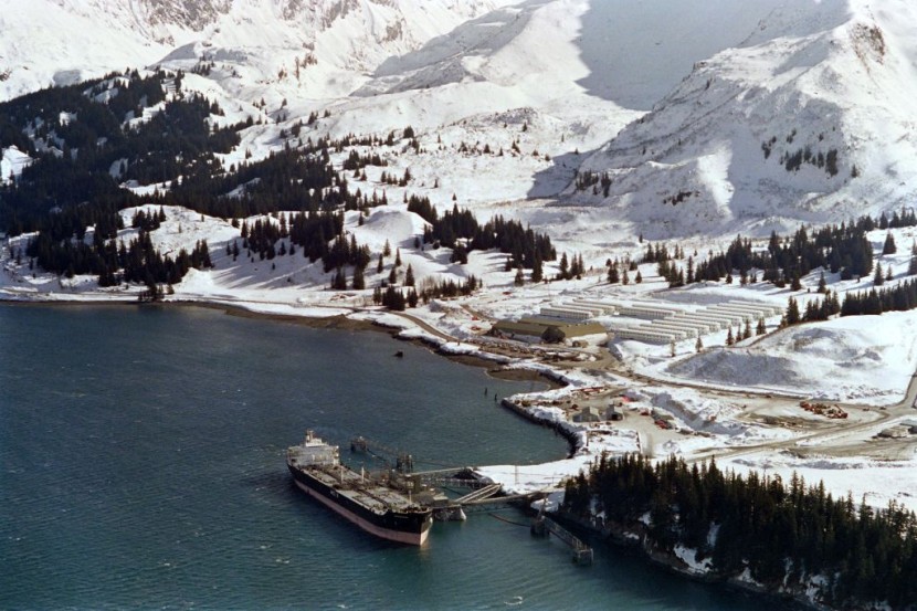
The National Oceanic and Atmospheric Administration research vessel is on a five-month mission aboard an old Navy ship that has been modified and is now manned by NOAA Corps personnel and civilians.
The ship, which has a 48-person crew, is equipped with instruments and technology that allow it to look deep into the ocean and collect data that is immediately shared with academics on land, as reported by The Associated Press.
It is hoped that later studies will be guided by these data statistics, which can then be ingested by plankton and other small organisms. These microplastics can then move up the food chain, eventually reaching humans. Microplastics have been found in the bodies of fish, shellfish, and even humans.
Researchers on board the ship are mapping and gathering samples from regions in the Aleutian Trench and Gulf of Alaska using a range of sonars and two remotely controlled vehicles, Deep Discoverer and Serios.
Researchers can record and promptly share their findings thanks to high-resolution cameras that can function at depths of up to 6,000 meters (19,685 feet). The public can watch dives live-streamed from the ship.
How much of the ocean floor can be mapped depends on a variety of parameters, including depth, speed, and sonar capacity. The Okeanos Explorer can map up to 50,000 square kilometers (31,069 square miles) in two to four weeks.
Understanding Secluded Oceanic Regions
The crew intends to explore some of the region's cold seep communities during these dives, which are locations where gases from the sea floor rise through fractures and where plants don't rely on sunlight to produce food.
The data, according to the ship's operations chief Kasey Cantwell, will contribute to improving understanding of these secluded oceanic regions, particularly the marine species and habitats present there.
That might help with fisheries management choices. Additionally, data could be used to enhance nautical charts and find dangers.
Read also: China-Russia Military Vessels Found Operating Near Alaska, Triggers 'Forceful' Response From US
A Mission Priority
One of the least charted regions in the United States is the deep ocean off Alaska's Aleutian Islands, in part because of its isolation.
According to the expedition's website, just 34 percent of the sea bottom around Alaska, which contains one of the country's greatest coastal ecosystems, has been covered by modern mapping standards, and only a small portion of that has been observed.
According to Emily Crum, a communications specialist with the National Oceanic and Atmospheric Administration, closing these gaps is a mission priority and will assist in achieving a goal of mapping all of the United States' deep seas by 2030 and its near-shore waters by 2040.
In the first two months of the voyage, scientists discovered methane leaks and discovered a Brisingid sea star, which had never been observed in the Aleutians before, at a depth of 2,803 meters (9,200 ft). Additionally, at least two putative new species have been found.
Researchers on board the ship discovered a jellyfish drifting in the deep earlier this year while on an expedition off the coast of Washington state. Shortly after, an ecstatic scientist called to inform them that the jellyfish was acting in ways that had never been observed before.
Related article: Warm-Blooded Fish Outsmarted Other Deep Sea Critters To Become A Quick And Lethal Hunter
© 2026 HNGN, All rights reserved. Do not reproduce without permission.


