A winter storm is expected to hit the Northeast and coastal Mid-Atlantic in less than two days as fluctuating snowfall forecasts are beginning to come into better agreement with consensus building that a "bomb cyclone" could deliver heavy snowfall from Delaware to Maine.
Experts believe that several locations are almost certainly going to experience more than a foot of snow during the storm. The areas include coastal Maine and eastern Massachusetts, particularly from Boston to Cape Cod. Total snow is expected to be almost two feet with blizzard conditions that cannot be ruled out.
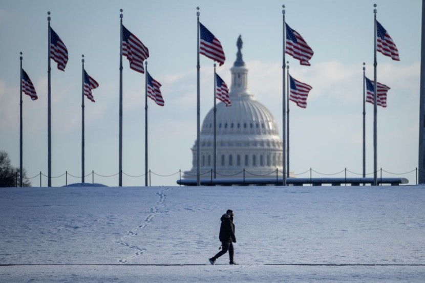
Massive Winter Storm
In areas found in the south, cities such as Hartford, Conn., New York, Salisbury, Md., and Virginia Beach are expected to experience heavy snowfall. However, the anticipation of double-digit totals of snowfall declines in the south of eastern New England.
Winter storm watches affect more than 45 million stretches from coastal North Carolina and the Virginia Tidewater up to the northeast and eastern Maine. The watches cover areas such as Virginia Beach; Richmond; Dover, Del.; Philadelphia; New York; Hartford; Providence, R.I.; Boston; Worcester, Mass.; and Portland, MSN reported.
The snowfall is expected to begin falling late Friday through the Saturday and the storm could produce wind gusts of up to 60 mph. Boston's National Weather Service warned that snowfall rates of three to four inches per hour will be possible.
In a statement, the weather agency said that the forecast package capped the totals at 24 inches but said it was possible for it to go up into the 30 to 36 inches range in Southeastern MA. Experts anticipate the storm to form on Friday in the Atlantic Ocean just off the coast of Georgia and quickly gather strength, in a process called bombogenesis, overnight Friday and track Saturday up the East Coast.
In a statement, CNN Meteorologist Brandon Miller said that the storm would likely strengthen at a rate and intensity equivalent to only the most powerful hurricanes. Experts noted that the high-end potential of the storm cannot be overstated. Miller added that one of the most important things to note about the storm is location, CNN reported.
Heavy Snowfall
The weather agency added that coastal northeastern cities could experience hurricane-force wind gusts and sub-zero wind chills this coming weekend. Accuweather, a weather service, said that cold temperatures could be "potentially hazardous for areas that experience power outages."
The National Weather Service said that there continued to be greater than usual forecast uncertainty with the track of the massive storm. The agency said that the axis of the heaviest snowfall may shift in subsequent forecast updates as experts learn more about the storm.
The situation has prompted Virginia Gov. Glenn Youngkin to declare a state of emergency in his region ahead of the storm system. Furthermore, New York Gov. Kathy Hochul has requested residents to prepare for potentially dangerous conditions brought by the storm system.
"Heavy wet snow along with high winds are predicted which poses a threat for downed trees, electrical outages, and major impacts to travel. In addition, there is also the threat of tidal flooding," said the Virginia Department of Emergency Management on Thursday in a news release, CBS News reported.
Related Article:
Tsunami-Hit Tonga Faces Water Crisis; Underwater Cables May Take Weeks To Repair
© 2025 HNGN, All rights reserved. Do not reproduce without permission.


