(Photo : Drew Angerer/Getty Images)
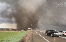
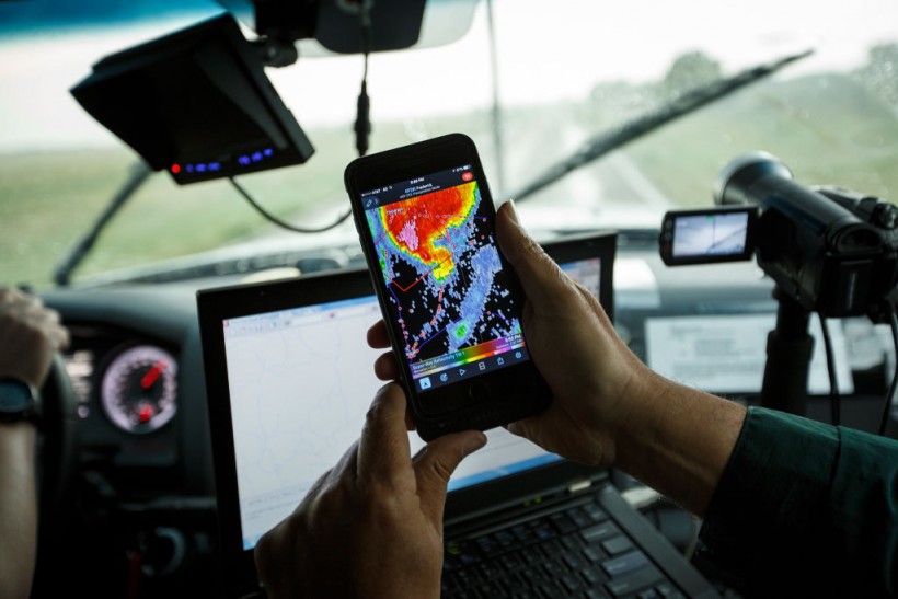
Center For Severe Weather Research Scientists Search For Tornadoes To Study
OLUSTEE, OK - MAY 10: Support scientist Tim Marshall, a 40 year veteran of storm chasing, looks at radar on his smartphone as the group tracks a supercell thunderstorm, May 10, 2017 in Olustee, Oklahoma. Wednesday was the group's third day in the field for the 2017 tornado season for their research project titled 'TWIRL.' With funding from the National Science Foundation and other government grants, scientists and meteorologists from the Center for Severe Weather Research try to get close to supercell storms and tornadoes trying to better understand tornado structure and strength, how low-level winds affect and damage buildings, and to learn more about tornado formation and prediction.
One winter storm has wreaked havoc on Midwest highways, and another is about to hit the Northeast with a hazardous surge of ice and snow. On Tuesday, the Midwest was hit by the first storm, dumping 10 to 30 inches of snow in some locations.
In the previous 24 hours, the Minnesota State Patrol recorded 373 collisions, with 34 persons injured. This week, a second storm is expected to deliver significant ice buildup from Texas to New York.
Winter Storm Will Bring Significant Amount of Ice, Snow
On Wednesday, the storm is expected to wreak havoc on Texas, Oklahoma, and Arkansas highways. Dallas has been given a winter storm warning, with ice being the most serious hazard. With over 800 canceled flights, Dallas/Fort Worth International Airport is suffering the greatest flight cancellations of any airport on Wednesday.
After that, the storm travels north, bringing rain, freezing rain, sleet, and snow to the mid-Atlantic and Northeast. An icy mix will bring sleet, snow, and freezing rain to the Mid-Atlantic and Washington, DC, areas on Thursday morning.
On Thursday night, a larger wave of ice and snow will hit the Interstate 95 corridor from DC through Philadelphia and into northern New Jersey. From Philadelphia to New York City and the Hudson Valley, freezing rain and sleet will fall Thursday night into Friday morning, ABC News reported.
Ice is causing particular concern among forecasters, with accumulation totals posing a "serious threat" to traffic and infrastructure. According to NBC News, some places might get 24 hours or more of precipitation, with a 1,800-mile swath of ice likely from middle Texas to the Northeast.
On Wednesday, more than 1,100 flights were canceled at Dallas-Fort Worth International Airport due to the winter storm Oaklee. It is likely to have a "substantial impact" on American Airlines' operations, according to the airline.
The Dallas Independent School District had to cancel school for over 154,000 pupils due to the forecasted storms. Forecasters are predicting up to a foot of snow in certain locations, in addition to concerns about dangerous ice formation.
Three to six inches of snow might fall from the Midwest to New England, with 6 to 12 inches expected from upstate New York to southern New England. Chicago, Cleveland, Buffalo, and Albany, New York, as well as Burlington, Vermont, Portland, Maine, and Boston, are all anticipated to receive snow.
On Wednesday, a low-pressure system is already dumping feet of snow across the Rockies, raising fears of avalanches. Avalanche warnings were issued by the Colorado Avalanche Information Center from Wednesday morning until Thursday morning for higher altitudes, which may see up to 4 feet of snow.
Read Also: Parents Call Miracle Baby Born on "Twosday," 2/22/22 at 2:22 a.m. an 'Answered Prayer'
Western States Could See Record Low Temp
On Wednesday, temperatures in a dozen western states might set new lows, with some locations dropping 20-40 degrees below average. Wind chills range from -30 to -50 degrees in parts of the Plains, causing "life-threatening circumstances."
According to the National Weather Service, the dangerously low wind chills could inflict frostbite on exposed flesh in as little as 10 minutes. Meanwhile, the East Coast is seeing temperatures that are 10 to 20 degrees above average, which is providing the ideal conditions for ice storms.
On Thursday, significant rain is forecast in the lower Mississippi and Tennessee valleys as a result of the storm's higher temperatures on the south side, posing a danger of flash flooding. According to forecasts, wild weather is predicted to move off the coast of the United States early Saturday.
The weather, which will start on Wednesday, follows a winter storm that hit the area earlier this week, causing hazardous driving conditions. On the I-84 freeway in frigid Oregon, a 100-car pile-up allegedly wounded 19 people.
Winter Storm Nancy slammed through the upper Midwest and Northeast, sending temperatures plummeting. Last week, as snow squalls covered the area, another incident involving 20 automobiles was recorded in Detroit.
Due to the inclement weather, police advised motorists to drive cautiously and maintain a greater than normal gap between automobiles. According to Michigan State Police, everyone engaged in a collision should remain in their vehicles and wear their seatbelts, as per The Sun.
Related Article: Winter Storm Warning February 2022: 'Multiple Hazards' Threaten 100 Million Americans -- What and How to Prepare
@YouTube