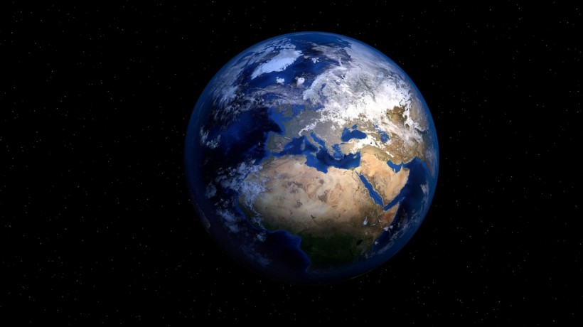
(Photo : Pixabay/ PIRO4D )
NASA Scientist remakes a 2008 simulation of earth drained of all it's water.
With the current concerns on what the planet will look like if all icebergs melt, a National Aeronautics and Space Administration (NASA) scientist simulated Earth with all of it's water draining and people find it fascinating.
Horace Mitchell an animator and physicist with NASA created a video in 2008 of Earth when all the water in its oceans slinking away. More recently, James O'Donoghue, a former planetary Scientist of the space organization updated the video. He added depth tracking showing levels and adjusted the speed.
According to O'Donoghue he slowed down the beginning of the video since he was surprised that there are already a number of underwater landscapes that are revealed only in the first few meters of the water draining.
As water slowly leaves the surface, more and more features are seen. This includes the land bridges that connected the continents where early humans used to travel across the ocean. These bridges existed since during the last ice age most of ocean water were ice at the Earth's pole. These bridges linked the islands and allowed human to travel. However, when the ice melted, the water covered these bridges.
Also read: End of the World: NASA Preps for Possible Asteroid Hit on Earth
O'Donoghue explained on Youtube that the video animation simulates the slow drop of sea level which reveals the hidden landscapes in detail, gradually. As the water drops the continental shelves are first to appear, since they are already visible just under a 140meter depth, except in the Artic and Antartic regions where these shelves are much deeper.
On the other hand, at 2000-3000 meters below sea level, mid ocean ridges start to appear. The mid-ocean ridge is the earth most extensive mountain chain on Earth. It stretches to nearly 40,390 miles (65,000km) which was formed by plate tectonics. Ninety-percent of the ridge is underwater and in the video, the pattern starts to emerge when almost 2,000 meter of water has dropped.
Further down the ocean at around 6,000 meters, a crescent-shaped line that appears roughly between Australia and Japan. This spot is actually the deepest area on the planet, the Marianas Trench which is slowly draining. Although it takes another 5,000 meters for the Earth's water to fully dry out.
O'Donoghue added that he has watched the simulations at least 10 times and kept on pausing it along the way to take in the details. He was highly fascinated by the ocean floor and has thought about what it would have been like to walk across countries and continents that in the current day is separated by deep oceans.
The former planetary scientist added that the animation shows that the surface under water is just as interesting and variable in it's geology as the continents and surface we see now. But it's not only the ocean floor that he marveled at but the story of how ancient humanity traveled as well.
Furthermore, with this video showing us that three-fifths of the Earth's surface is deep under the ocean, people can't help but wonder what a simulation of all the ice melting would look like, which may be a view of the planet the future humans may live in.